ERCAN logo
← ERCAN derivative

ERCAN Knowledge Portal · R

Research Areas in Civil EngineeringResearch portal

Subsurface intelligence and civil research at scale

Discovery and field intelligence

Kingdom-scale mapping

GIS

Hydraulic & geophysical studies

Geo

Flagship research missions

2

Service disciplines

9

Hydrological mapping data
GIS geophysical data survey
Monitoring and control room

ERCAN derivative · Navigate portals

Visual story

Discovery and field intelligence

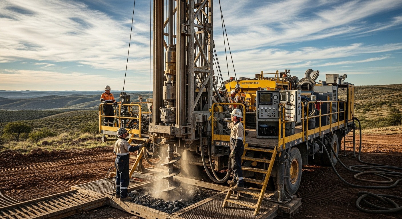
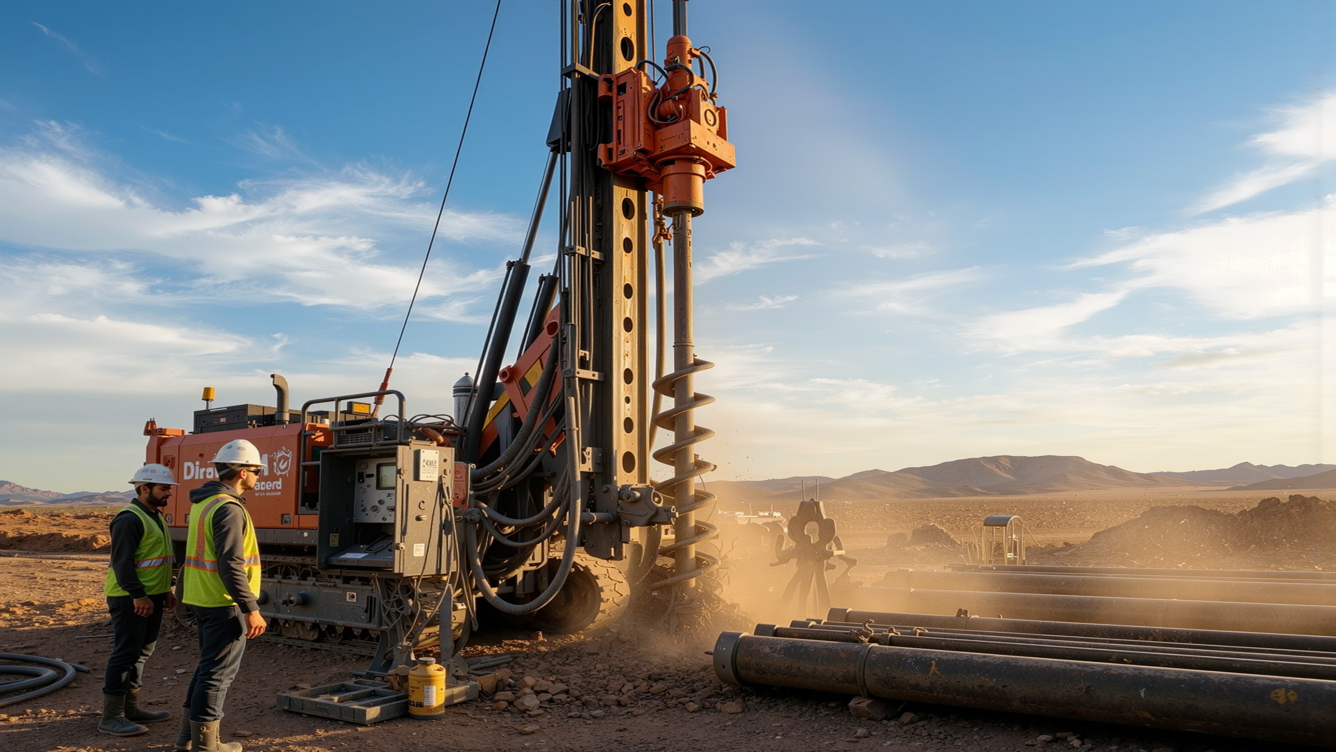
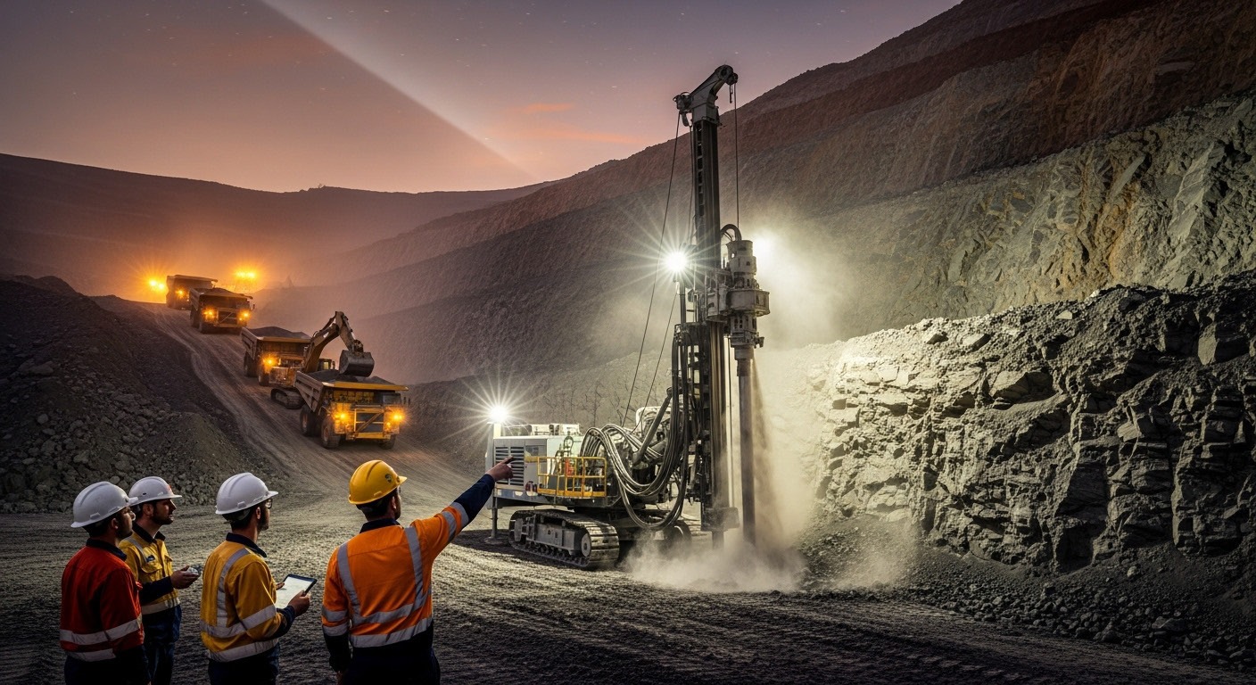
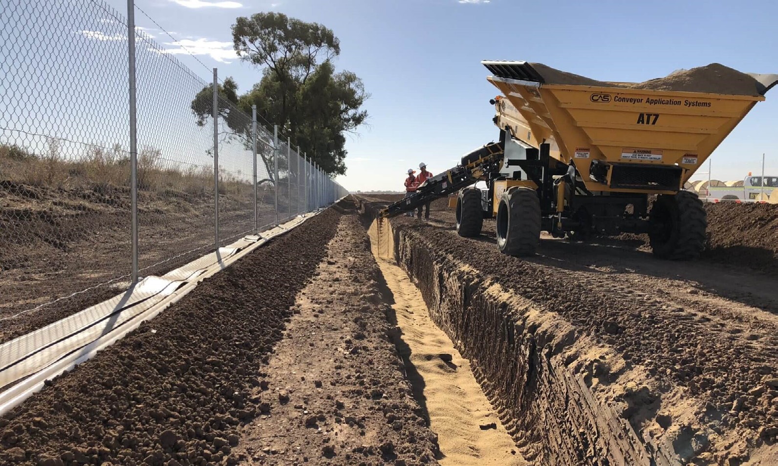
(01) — Research backbone

Subsurface intelligence at scale

Hydrological mapping, geo-hydraulic studies and geological characterisation form the research backbone of ERCAN's civil engineering programmes — supporting ministries, contractors and developers with evidence-led design.

Hydrological mapping data

(02) — Field investigation

From shaft studies to national water resources

Profile-documented studies span kingdom-scale water resources, shaft geo-hydraulics and deep-well drilling specifications across healthcare, transport and energy infrastructure.

Geotechnical and environmental logging, supervision, testing and water-quality monitoring underpin every research deliverable.

GIS geophysical data survey

(03) — Interpretation

Data converted to design intelligence

Weather data analysis, flood-risk management, aquifer characterisation and reserve estimation convert raw field acquisition into actionable civil engineering intelligence.

Monitoring and control room

Portal workflow · R

Engineering delivery sequence

Step 01

Investigate

Geological, hydrological and geophysical field work

Step 02

Map

GIS survey and kingdom-scale hydrological mapping

Step 03

Model

Geo-hydraulic and groundwater flow interpretation

Step 04

Report

Evidence-led design packages for programme owners

Capability modules

Pillar R · Research Areas in Civil Engineering

01

Hydrology & hydrogeology

02

Geophysical studies

03

Data interpretation

04

GIS mapping

05

Geological & hydrological data

Hydrological mapping, geo-hydraulic studies, and geological characterisation form the research backbone of ERCAN's civil engineering programmes — supporting ministries, contractors and developers with evidence-led design.

Profile-documented studies span kingdom-scale water resources, shaft geo-hydraulics, and deep-well drilling specifications across healthcare, transport and energy infrastructure.

Continue

Portal R complete

Return to the ERCAN Story derivative portal or continue through operations, missions and contact.

ERCAN Knowledge Portal · Research Areas in Civil Engineering