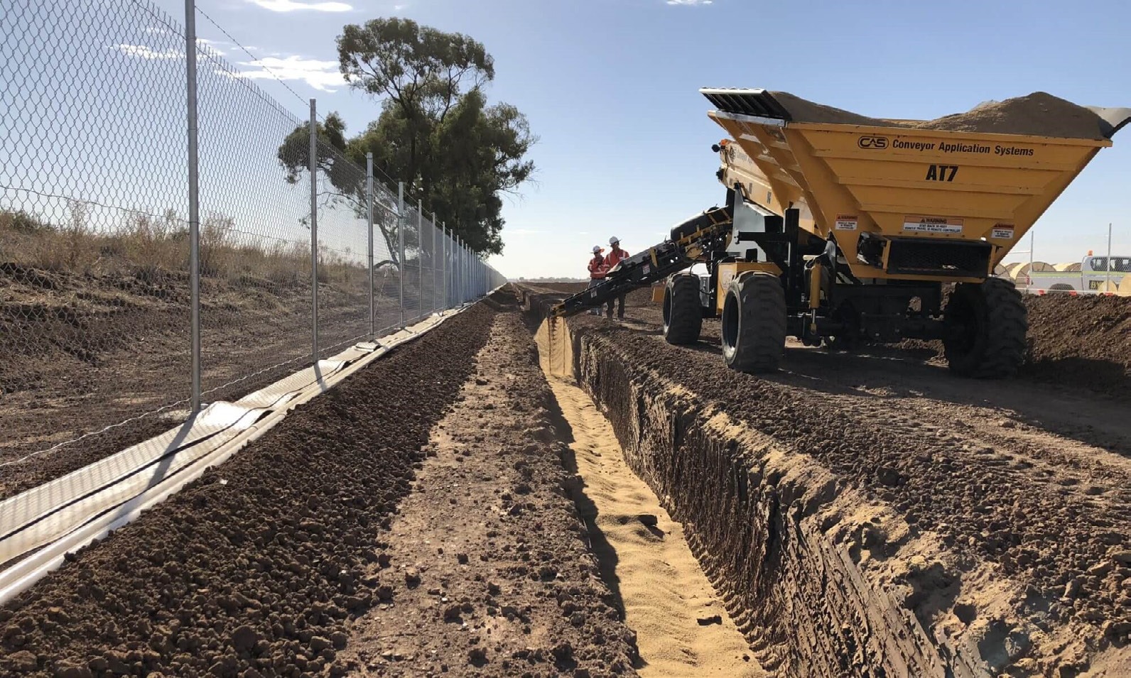
ERCAN logo
← ERCAN derivative

ERCAN Knowledge Portal · A

AnalyticsAnalytics portal

Data control and geospatial intelligence

Engineering intelligence and data control

Vector & raster spatial models

GIS

Telemetry programmes

2

Analytics capabilities

6

Commercial GIS platforms

ARC

GIS geophysical data survey
Monitoring and control room
Hydrological mapping data

ERCAN derivative · Navigate portals

Visual story

Engineering intelligence and data control

(01) — Data command

Field acquisition to actionable intelligence

GIS survey, geophysical visualisation and data management disciplines convert field acquisition into actionable intelligence for programme owners and engineering consultancies.

ERCAN's Data Management Plan describes data acquired or produced during a project — how it is managed, described, stored, standardised and protected during and after completion.

GIS geophysical data survey

(02) — Spatial intelligence

GIS and geospatial survey backbone

Vector-based and raster-based GIS models integrate critical data sources — supporting hydrological networks, monitoring rooms and national-scale telemetry programmes.

Monitoring and control room

(03) — Modelling

Groundwater flow and project analysis

Analytics capability ensures decisions are grounded in verified subsurface and operational data — from groundwater flow models to monitoring data interpretation.

Hydrological mapping data

Portal workflow · A

Engineering delivery sequence

Step 01

Acquire

Identification and integration of critical data sources

Step 02

Structure

GIS models and data-management plans

Step 03

Model

Groundwater flow and geophysical interpretation

Step 04

Decide

Verified intelligence for programme owners

Capability modules

Pillar A · Analytics

01

Data management

02

GIS & geospatial survey

03

Monitoring data

04

Modelling & interpretation

05

Project analysis

06

Groundwater flow models

GIS survey, geophysical visualisation and data management disciplines convert field acquisition into actionable intelligence for programme owners and engineering consultancies.

Analytics capability supports hydrological networks, monitoring rooms and national-scale telemetry programmes — ensuring decisions are grounded in verified subsurface and operational data.

Continue

Portal A complete

Return to the ERCAN Story derivative portal or continue through operations, missions and contact.

ERCAN Knowledge Portal · Analytics