
ERCAN Editions · Chapter 00
Engineering The Future
Kingdom-scale infrastructure built through precision, data and field execution.
ERCAN Editions · Chapter 00
Kingdom-scale infrastructure built through precision, data and field execution.
A Saudi Engineering Powerhouse →
Chapter 01
ERCAN is a general contracting firm which ranks as a leader in the commercial, construction and renovation industry, as well as in hydrological and geological studies. Since its foundation, our company has distinguished itself through its thoroughness and expertise in completing major renovation projects and new construction, mainly in the Kingdom of Saudi Arabia.
Engineering modules · scroll →
Roads, earthworks, drainage & wet utilities at kingdom scale.
Subsurface intelligence, wells & national water-resource programmes.

GIS survey, geophysical logging & subsurface characterisation.
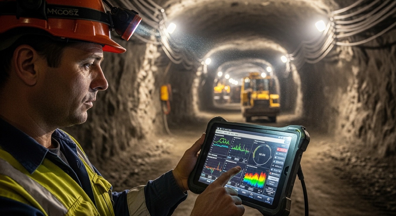
Control rooms, telemetry & environmental sensor networks.

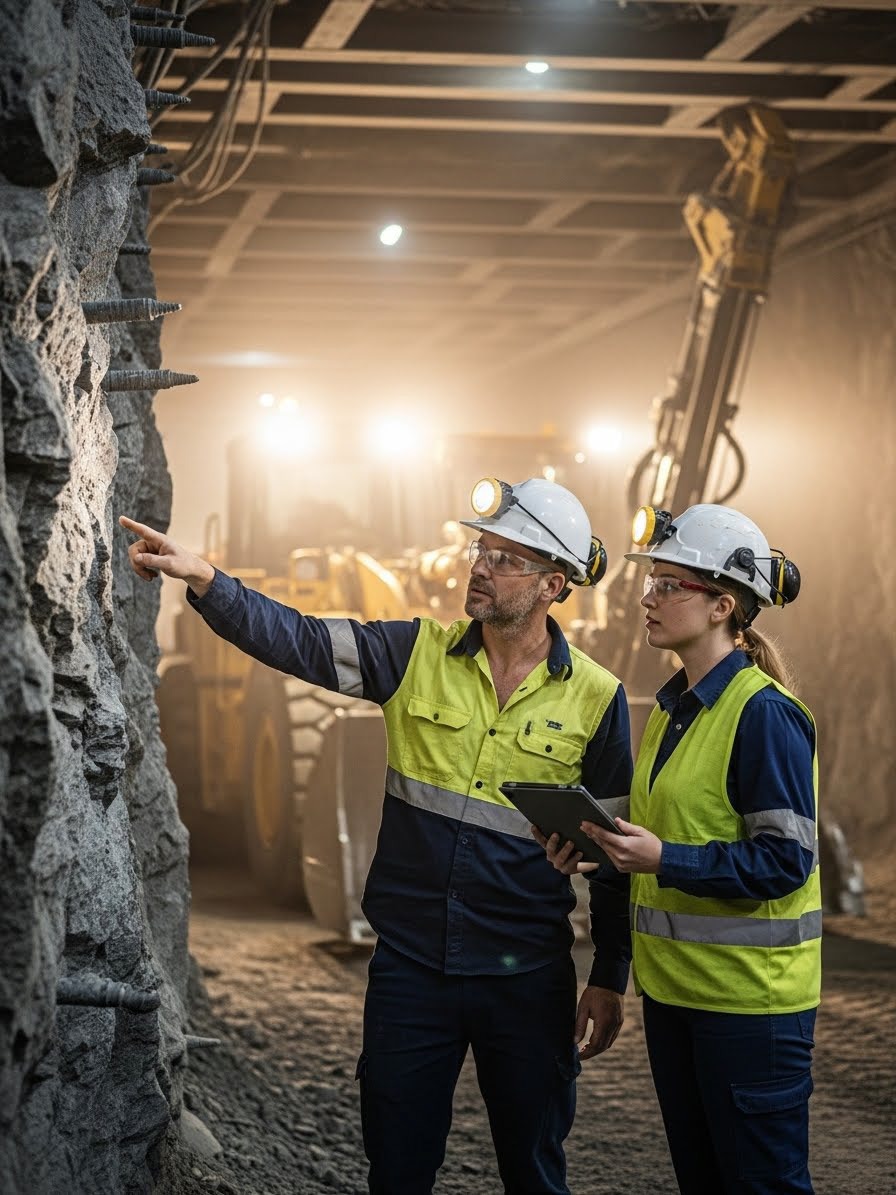
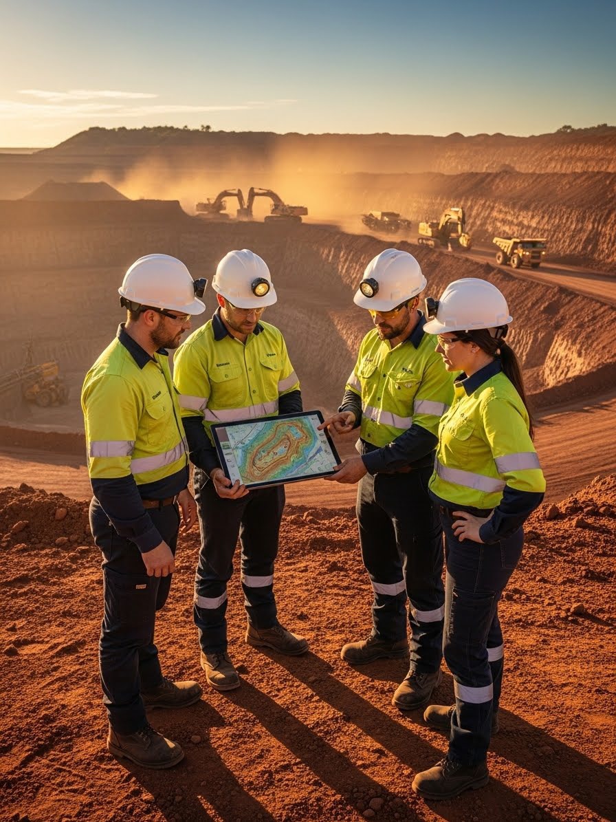
Opencast operations, haulage & integrated mine planning.
Solar, wind & desalination infrastructure delivery.
Chapter 02
Nine strategic divisions — one integrated command layer for construction, subsurface science and national monitoring.
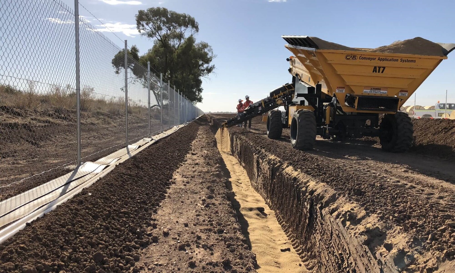
View all servicesRoads, earthworks, storm-water drainage and sanitation networks delivered to contract and ARAMCO/B.S. standards.
Explore capability →Reliable mining equipment, opencast operations and integrated mine planning from exploration to rehabilitation.
Explore capability →
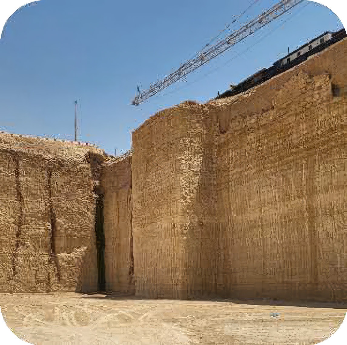
Yard construction, slope protection, hard-stone quarrying, pre-cast concrete and fence construction.
Explore capability →
Geophysics, geophysical logging, water-well services and dewatering systems backed by geological evidence.
Explore capability →
Geologic, hydrologic and hydrochemical data management built on GIS and structured data-management plans.
Explore capability →Environmental monitoring, water-quality control and data interpretation backed by an expert maintenance team.
Explore capability →
Supply, installation, operation and maintenance of all types of monitoring station and network.
Explore capability →
Engineering, management and treatment of sea, brackish and surface water for diverse sources.
Explore capability →Geothermal, solar, wind and hydro-power solutions following ERCAN's Assess–Design–Implement approach.
Explore capability →Chapter 03
From terrain layers to telemetry — field intelligence that powers every programme.
Hydrology
Hydrological mapping, OBS wells and groundwater models powering national water policy across Harrat fields and main valleys.
Monitoring networks
Operation and maintenance of rainfall, climate, dam and discharge stations — keeping the Kingdom's hydrological nervous system alive.
GIS & analytics
Geospatial survey, geophysical visualisation and data management convert field acquisition into actionable engineering intelligence.
Network operations
Globe-scale sensor networks link subsurface data, control rooms and construction programmes into one operational layer.
Chapter 04
Built environment delivery — roads, earthworks, dewatering and drainage at contract scale.
Roadworks to Ministry of Transport standard — base and asphalt layers, drainage channels, gates and landscaping.

ERCAN's largest single contract — district-wide wet utilities and dewatering for a growing urban district.
Major earthworks completing a key Eastern Province highway intersection for the Ministry of Transport.
Design, drilling, installation and live control of a dewatering and drainage system for AECOM.

Engineering dry ground for deep tunnel shafts through full hydrogeological modelling and a bespoke dewatering system.
Chapter 05
Five pillars encoded in the ERCAN name — each letter a route into our engineering world.
Engineering and Environmental
Environmental stewardship through engineered delivery
Enter Engineering & Environmental →Research Areas in Civil Engineering
Subsurface intelligence and civil research at scale
Enter Research Areas in Civil Engineering →Consultant & Construction
From consultant interface to construction execution
Enter Consultant & Construction →Network And Monitoring
National monitoring networks and operational telemetry
Enter Network & Monitoring →Chapter 06
Profile-verified scale — programmes measured in stations, wells and contract value.
Single project contract value
SAR 217M
Single project contract value
National hydrological network O&M programme
0+
OBS wells managed
Operation & maintenance across the Kingdom
0+
Rainfall stations
Weather & climatic environmental monitoring
0+
Climate stations
Core O&M scope groups on the national hydrological network
0
Main task domains
Chapter 07
Continue the launch — explore capabilities, projects and partnerships.

Nine integrated divisions
Open →Flagship delivery register
Open →Mission, vision & derivative pillars
Open →Government & industry ecosystem
Open →Start a project conversation
Open →Ready to begin
Start a project